B.C. forestry: Campbell River becomes the first candidate study area
The three-zone model enters an exploratory phase. Final boundaries and legislative changes have not been settled.
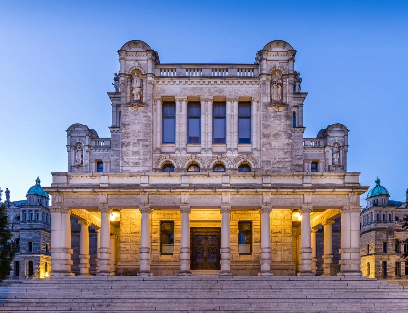
British Columbia designated an area near Campbell River on September 15 to explore its three-zone forestry model with the Na̲nwak̲olas Council and four First Nations. No final new zoning was announced. [1]
Categories without a final map
The model distinguishes areas devoted to timber production, areas combining multiple uses and restoration, and conservation areas. Their actual distribution matters as much as their names: it will determine where activities can occur and which protections apply. [2]
The Canadian Press reports that Forests Minister Ravi Parmar wants to move from permits issued cutblock by cutblock to operational planning. The process is to involve local governments, First Nations, industry and environmental groups. The report provides no final implementation timetable. [2]
The province plans technical, environmental and socioeconomic assessments before possible policy or legislative changes. The aim is to reconcile uses in a sector under pressure. [1]
Safeguards remain to be defined
In its August 27 response to the general model, Sierra Club BC raised concerns about conservation safeguards and old-growth forests. This position predates the selection of Campbell River: it is not an assessment of final territorial boundaries. [3]
Sierra Club BC’s concerns draw attention to explicit protections and conservation criteria. They do not establish that local decisions have already been made. [3]
Perspectives compared
The province describes a framework still under exploration. [1]
The Canadian Press explains the contemplated permitting change. [2]
Sierra Club BC calls for safeguards in its response to the general model. [3]
Sources and documents
- [1] Gouvernement de la Colombie-Britannique / B.C. government ↗15 September 2026
- [2] La Presse canadienne / CityNews ↗15 September 2026
- [3] Sierra Club BC ↗27 August 2026